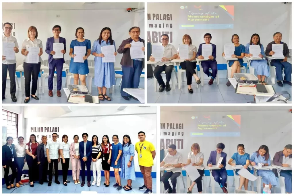
Three faculty members of Laguna University (LU) joined the Geographic Information System (GIS) Seminar/Workshop entitled, “GIS for CCA-DRR: A Comprehensive GIS Workshop” at Monte Vista Resort, Calamba, Laguna on January 21-23, 2020.
The seminar/workshop was attended by representatives from different Local Government Units (LGU), State Universities and Colleges (SUC) and Local Universities and Colleges (LUC). Laguna University was represented by Mr. Rowel B. Gaa, from Senior High School department, Mr. Mc Joshua Y. De Lima, from BSIT department and Mr. Marlon L. Atanacio, from the Office of the Community Extension and Services.
The first day program started at exactly 8:30am with an opening ceremony spearheaded by the volunteers from UPRI (University of the Philippines Resilience Institute). The opening remarks was delivered by the head of LCCAO, Mr. Henry B. Halawig focusing on the impact of the 3-day seminar workshop to the community. Another message was delivered by Prof. Genero Cuaresma, Director for Institutional Building, University of the Philippines Resilience Institute, his talk dwelt on the workshop objectives. Seminar workshop proper started at 9:15am, the first topic was discussed by Joy E. Santiago, from UPRI. Her topic evolved in the Introduction to GIS. She emphasized the basic application of GIS to the community, particularly during calamities. Right after her discussion, a demonstration followed. She demonstrated the use of QGIS (Quantum Geographic Information System), discussing all the important parts of the system. Cong. Ruth M. Hernandez visited the training and delivered her message. Cong. Mariano mentioned that the lower house is planning to create an office that will manage all the funding and donations in times disasters and calamities.
During the 2nd day of the workshop, the registration started between 8:30- 9:00 am. A recap on the first day was done by the hosts from the UPRI. GIS Data Preparation and Mapping was the first topic delivered by Ms. Joy E. Santiago; she taught the participants how to make use the shapefiles for mapping purposes. Then, another set of activities were given to the participants practicing their skills for GIS mapping. The types of spatial data were also discussed to make use of map in the QGIS software. An activity of Land Use Mapping using QGIS was done by the participants with the supervision of the facilitators coming from the UPRI. In the afternoon, the discussion on Georeferencing Raster Images and Vector using QGIS were tackled. The creation of polygon, shape and line were introduced, these objects are necessary when doing the mapping, because it serves as legends in the map in GIS. An open forum and photo ops were done as part of the closing ceremony for the 2nd day part of the conference.
On the last day, a recap of day 2 was done by Prof. Gene Cuaresma. A lecture on Map elements was discussed by Ms. Trixie of the UPRI. She reiterated the significance of Date, Orientation and Location in a map. An activity for creating a map layout using QGIS was facilitated by the speaker. For the last topic, an OSM (Open Street Map) was introduced. OSM is an open source where anyone can contribute in the development of the map.
– Marlon L. Atanacio